
REMETEA – A DESCPRITION
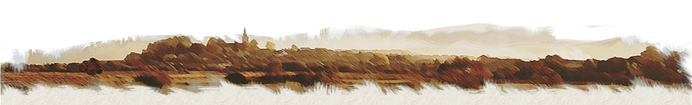
 Remetea is a large village in the north-west of the Gheorgheni basin, 75 kilometres from Miercurea-Ciuc and 15 kilometres from Gheorgheni. You can take the Brașov-Târgu Mureș train service and get off at Ditrău station, from where the centre of Remetea is at a distance of just 2 kilometres. By car, you drive to the centre of Ditrău on the E578 European highway, coming either from the direction of Gheorgheni or Toplița. You then turn westwards, and Remetea is at a distance of 4 kilometres. In the middle of the nineteenth century, talking about the village, Balázs Orbán said, “Remetea has existed since long ago, and sits facing Ditrău on the left, higher bank of the Mureș, in the valley of the Kőpatak stream”.
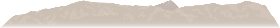
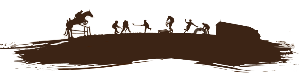
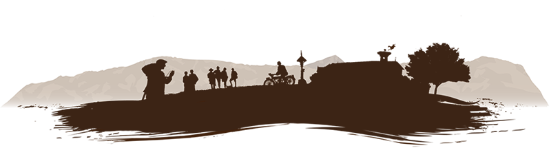
  The village is lying at the foot of the Gurghiu volcanic mountains, at an average altitude of 750 metres above sea level. According to the 2011 census, the population is 6,171, the large majority being ethnic Hungarians of Roman Catholic confession. The total surface area of the village is 10,774 hectares, of which the village itself covers 1,145 hectares. Remetea and the villages around it typically have long cold winters and short summers. The average annual temperature is between 5.1 and 5.5 degrees Celsius. There are several kindergartens and schools in Remetea, as well as doctor’s offices, dentist’s surgeries, pharmacies, a post office, a bank and various food retailers and other categories of shops. There is also a tourist information office, a hairdresser’s, a beauty parlour, a vehicle service centre, a petrol station and a guest-house. There are also timber processing plants and seven joiner’s workshops.


Keresés